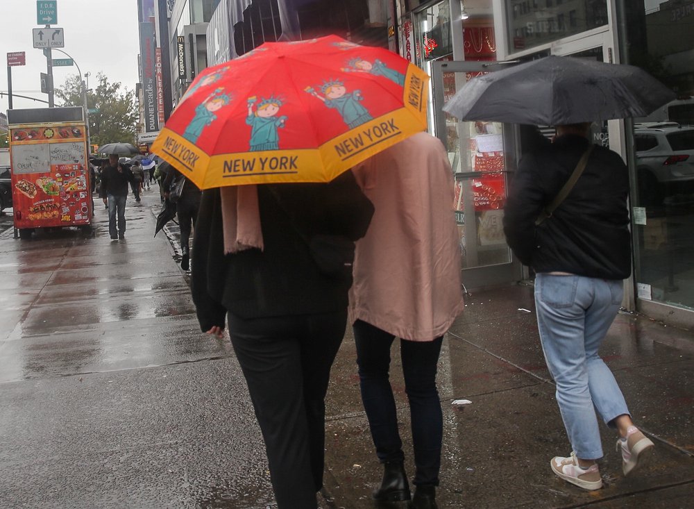
Flood and rainfall maps show how NYC area was affected by overnight storm
Dec. 18, 2023, 11:24 a.m.
These live-updating maps show rainfall totals and flooding hotspots throughout the region.

A powerful overnight storm brought fierce winds and heavy rain to the New York metro area Monday, but the region didn’t experience the same intensity of rainfall as during the remnants of Tropical Storm Ophelia in late September, according to data reviewed by Gothamist.
Central Park recorded just over 3 inches of rainfall as of Monday morning, while parts of Northern New Jersey recorded upwards of 5 inches, National Weather Service data shows.
Meanwhile, data from FloodNet, a system of 72 digital flood sensors operated by NYU and Brooklyn College researchers, shows mild flooding in parts of Brooklyn and Staten Island. Flash flood warnings were issued through 10:45 a.m. for Manhattan, the Bronx, Yonkers and Bridgeport, Connecticut, as well as Newark, Jersey City and Elizabeth, New Jersey.
Below are four live-updating maps — built on FloodNet and NWS data — that will refresh every 15 minutes or so until Monday evening. Note that the data is automatically generated from rain gauges and flood sensors, so it may not always line up exactly with the official calculations from NWS meteorologists.
Thousands of customers reported without power across NYC area as storm moves north Why it rained so hard Friday: Ophelia returned to hit NYC with an Ida-level storm