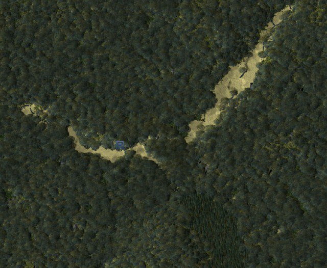
Interactive Map Shows What The NYC Area Looked Like Back In The 1600s
Sept. 28, 2015, 4:19 p.m.
Back then, life around here was... pretty, pretty boring.

Times Square!
The Mannahatta Project has rebranded, and is now called the Welikia Project (we knew this was coming, but as Curbed notes, they're finally done "collecting information about the natural landscape of the area" that is now NYC). With the new name comes a new website that will transport you like never before back to the year 1609. Back then, life around here was... pretty, pretty boring.
Where there are currently iconic skyscrapers and bridges, streets formed into a grid system, underground mass transit, and frozen yogurt shops, there used to be just creeks and trees. And then some more creeks and trees. Idyllic, sure, but not worth the rent you're paying.
The newly unveiled Welikia Project is time-suckingly navigable, and allows the user to explore all of the boroughs, from 1609 to present day, via satellite imagery. They explained the relaunch on their website:
We’re going beyond Mannahatta, launching the Welikia Project Hear Welikia pronounced to encompass all of New York City, including the Bronx, Queens, Brooklyn and Staten Island, and surrounding waters. Welikia Hear Welikia pronounced means “my good home” in Lenape, the original Native American language of the region. But Mannahatta hasn’t gone anywhere. For all who have come to love Mannahatta, the same block-by-block data is available by clicking anywhere on Manhattan Island.
Click here to explore, and see what your block looked like back then (spoiler: creeks and trees). [via 6sqft]