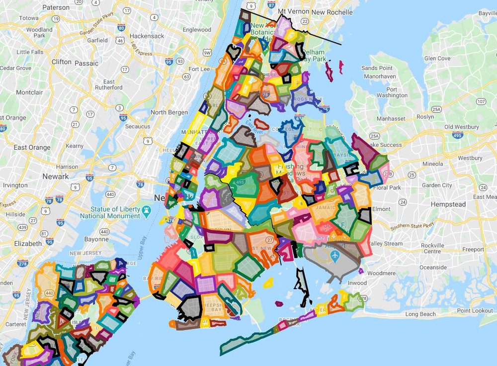
Interactive Map: How Well Do You Know NYC Neighborhood Boundaries?
Feb. 21, 2020, 12:25 p.m.
You have to respect any map that gives Korea Town and the Diamond District their due while also completely ignoring the likes of Manhattan Valley, Hudson Yards and Yorkville.

No neighborhoods in NYC have any official borders recognized by city or state agencies. As Kate Cordes at the NYPL once told us, "Neighborhoods are just crowdsourced knowledge and boundaries are unofficial." The city is ever-changing, and so are the boundaries of where each neighborhood begins and ends as the demographics and commercial makeup of each area shifts over time. The chalk outline of a neighborhood is really more of a feeling than a set place.
But when we're actually out in the city and trying to figure out whether we're eating at a place in DUMBO or Vinegar Hill, it feels somewhat deflating to have to rely on arbitrary real estate demarcations or our digital overlords over at Google Maps to define those boundaries for us. Which is why we were happy to find this interactive map, created by some meticulous Redditors. You have to respect any map that gives Korea Town and the Diamond District their due while also completely ignoring the likes of Manhattan Valley, Hudson Yards and Yorkville.
You can check out all the neighborhood intricacies in the map below, just make sure you zoom in on New York to start.
While you're here, you can check out a few more fun interactive neighborhood maps, including one on NYC's hottest neighborhoods for rats, one that tracks evictions, one on the languages of the city, and one on late night bars & restaurants.
And check out a video below from when we ventured to Tompkins Square Park to ask real New Yorkers where they think the East Village borders lie.